Aotea Great Barrier Island was (re)discovered by Captain James Cook in 1769 and is 90km NE of Auckland, New Zealand.
It was given this name by Cook as it provides a protective barrier for the entrance to the Hauraki Gulf from the South Pacific Ocean.
Great Barrier Island is the first island in the world to be awarded International Dark Sky Sanctuary status by the International Dark-Sky Association.
The island has been known for centuries as “Motu Aotea” (Island [of the] White Cloud) by the indigenous Māori (the people).
Motu Aotea has been inhabited by the Māori since at least the early part of the 1st millennium AD.
It has become widely accepted that the Māori came to New Zealand most recently from the eastern Pacific (Polynesia – possibly Tahiti and/or the Marquesas) arriving in New Zealand aboard large canoes (“waka”) around 1000 years ago from the homeland they know as “Hawaiki“.
Geologically the island closely resembles the Coromandel Peninsula and is separated from it by the 15km wide Colville Channel.
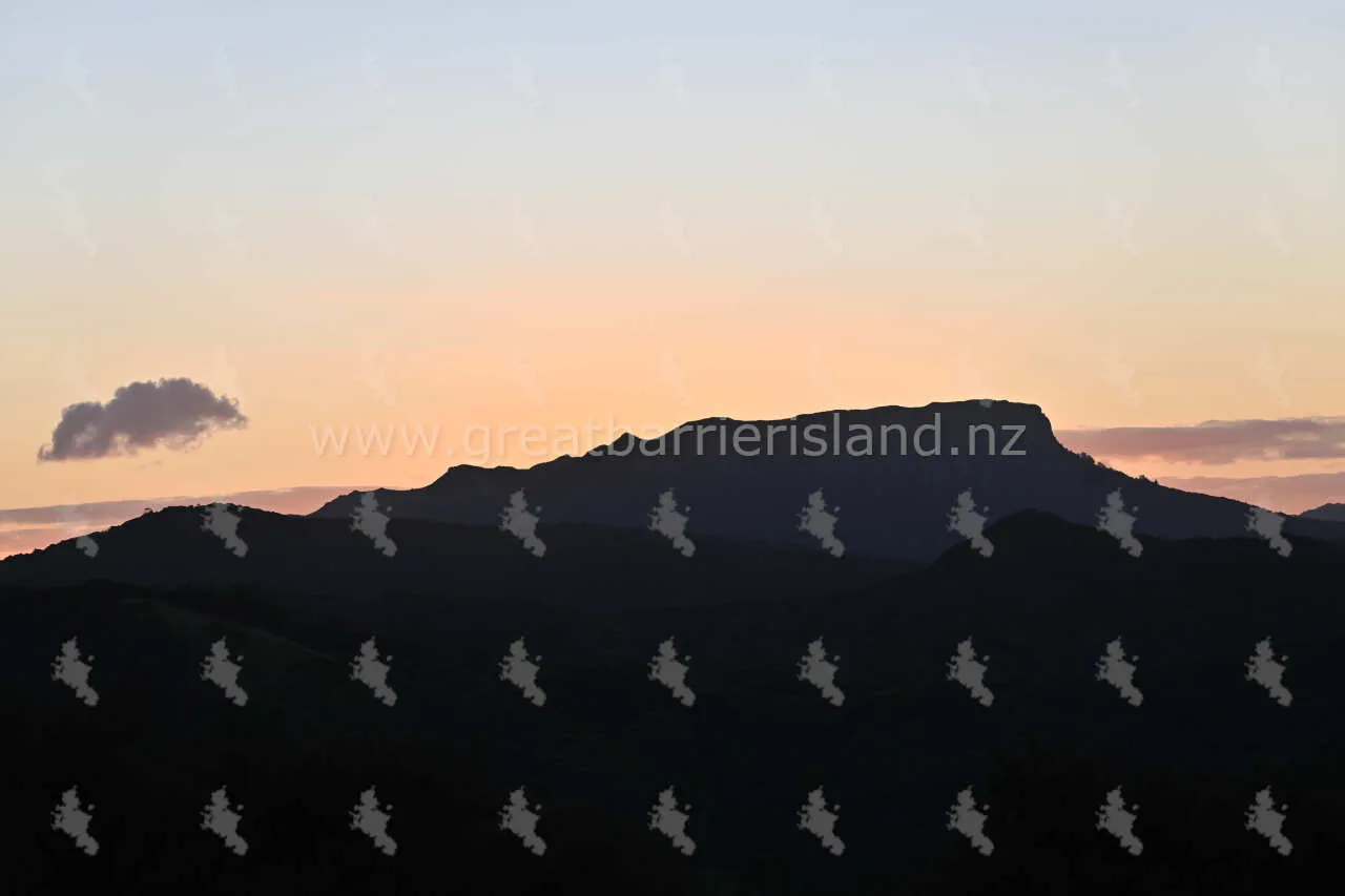
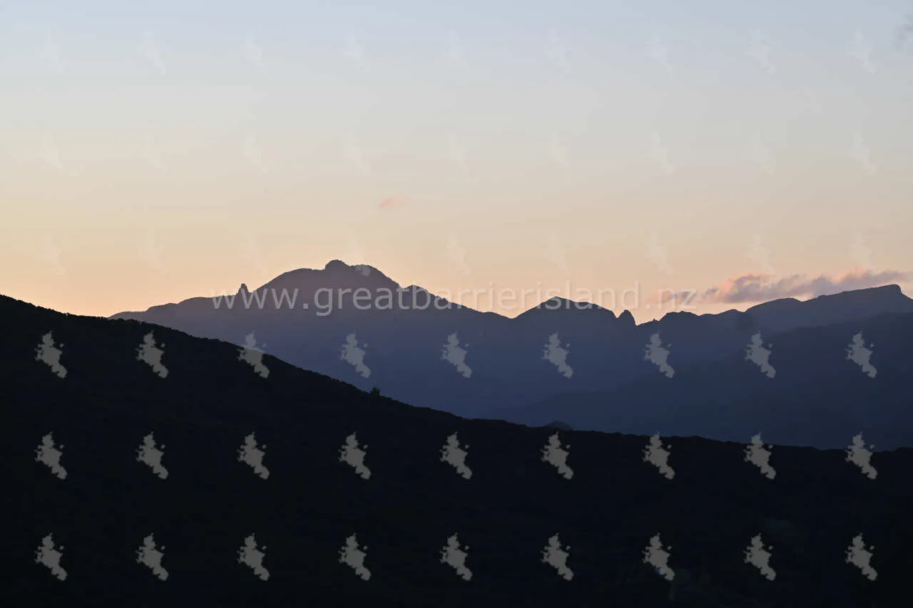
The island has an area of 285 square kilometres (110 sq mi) and its highest point is Mt Hobson (Māori: Hirakimata), 621 m above sea level at the centre of the island.
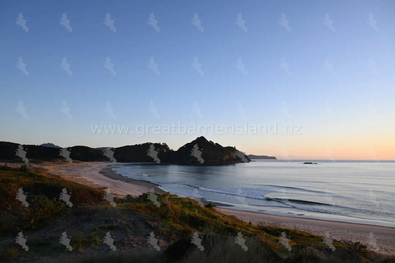
Visitors to Great Barrier Island can expect long sandy beaches, windswept dunes and secluded bays which offer some of the best diving and fishing in the country. Inland there are several large and biologically diverse wetlands as well as second and old growth kauri forests. Almost 60% of the island is nature reserve managed by The Department of Conservation which provides well maintained walking tracks and campgrounds.
Sorry, no records were found. Please adjust your search criteria and try again.
Sorry, unable to load the Maps API.


