8 km one way, 6 hrs, advanced tramping track, no dogs.
The Tramline Track system traverses most of Great Barrier island at its widest point.
The track receives minimal upkeep – for fit trampers only.
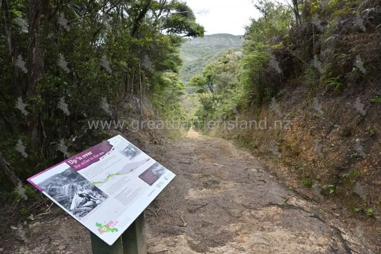
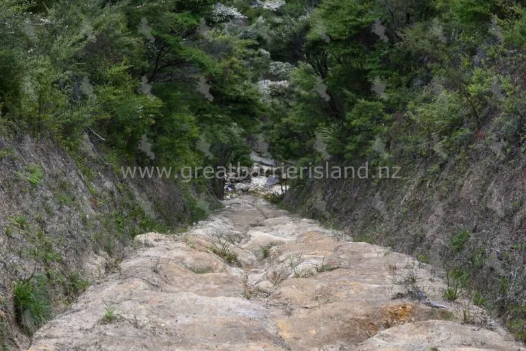
From its northeastern beginning on Aotea Road, the track follows the old tramline used by the Kauri Timber Company during the 1920s and 1930s. It is sometimes very steep and was a remarkable engineering feat of its time.
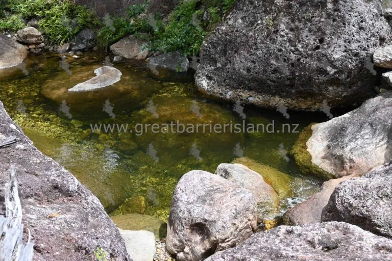
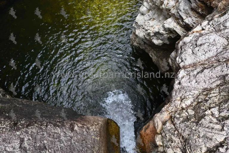
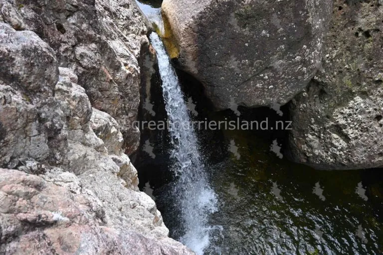
If you are coming from the Aotea Road entrance (just before Windy Canyon) the track descends abruptly to Awana Stream and Waterfall before climbing steeply to a plateau and dropping again to Kaitoke Stream. The track crosses several creeks, crossing Forest Road and linking with the Whangaparapara tramline extension.
Photos: Craig Sugden
Information courtesy of the Department of Conservation.
Detailed information including current alerts available on the DOC website.
Sorry, no records were found. Please adjust your search criteria and try again.
Sorry, unable to load the Maps API.
